
CORTLAND, N.Y. - Temperatures will remain mild through Tuesday, along with periods of rain ahead of an approaching cold front, according to the National Weather Service.

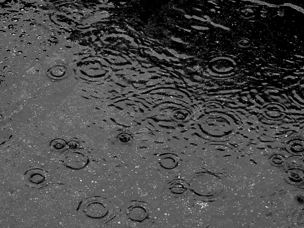
Most of the rainfall is expected to occur late tonight through Tuesday morning. This will lead to increased runoff into rivers, creeks, and streams, which could cause additional ice jams to form, forecasters said. A hazardous weather outlook will be in effect during this time, with rainfall amounts up to half an inch in our area.
Steadier rain should taper off to scattered showers by Tuesday afternoon.
Temperatures will drop down to the mid 20s by Wednesday morning, with wind gusts up to 30 mph throughout the day. There will be a chance for lake effect snow showers and flurries during this time.
By the weekend, we may see the warmest temperatures of the year. Highs will be in the mid 40s on Saturday under partly sunny skies. Rain is likely Sunday, with highs reaching close to 50 degrees.
Here's a look at your full forecast for the week:


