
Your Finger Lakes Weather forecast for Cortland and the surrounding areas for Sunday, December 15, 2019:
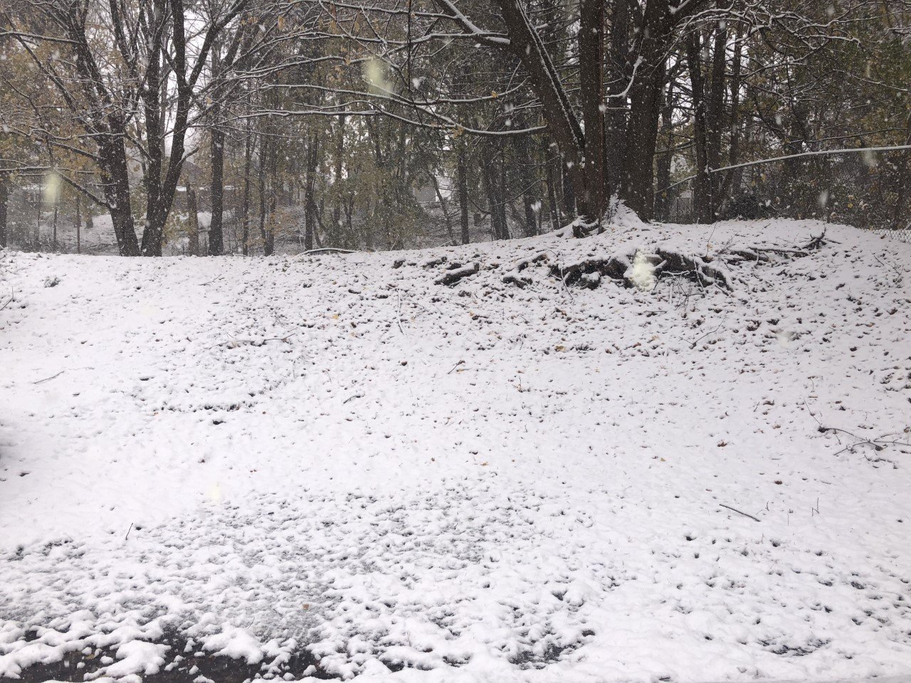
Today will be a raw blustery day behind yesterday’s rain and snow maker.

On and off lake effect snow showers will be possible throughout the day but should not amount too much in the way of accumulation or travel hazards.
This will be thanks to temperatures holding above freezing, between 32-35 degrees, for much of the day.
Temperatures will not drop until the sun sets with mid and upper 20s this evening. By then, most of the lake effect should be well north of Cortland County.
The wind will be from the west and northwest. Wind speeds will be between 15-20 mph with gusts as high as 40 mph, especially over the higher elevations.
Here is a look at the weather forecast for the next several days:
Monday: A few morning flurries possible. Otherwise, mostly cloudy. Low temperatures in the upper teens. Afternoon highs in the upper 20s.
Tuesday: Snow, possibly mixing with some ice. Several inches of accumulation possible. Temperatures steady in the upper 20s most of the day.
Wednesday: Blustery with lake effect flurries and squalls likely. Low temperatures in the upper teens. Afternoon highs a few degrees warmer in the low 20s.
Thursday: A few more lake effect snow showers. Cold, with morning lows around zero degrees and afternoon highs in the mid to upper teens.

