
Your Finger Lakes Weather forecast for Cortland and the surrounding areas for Friday, January 3, 2020:
Today will be a dreary day as a disorganized low pressure system to our southwest spreads light precipitation into the area.

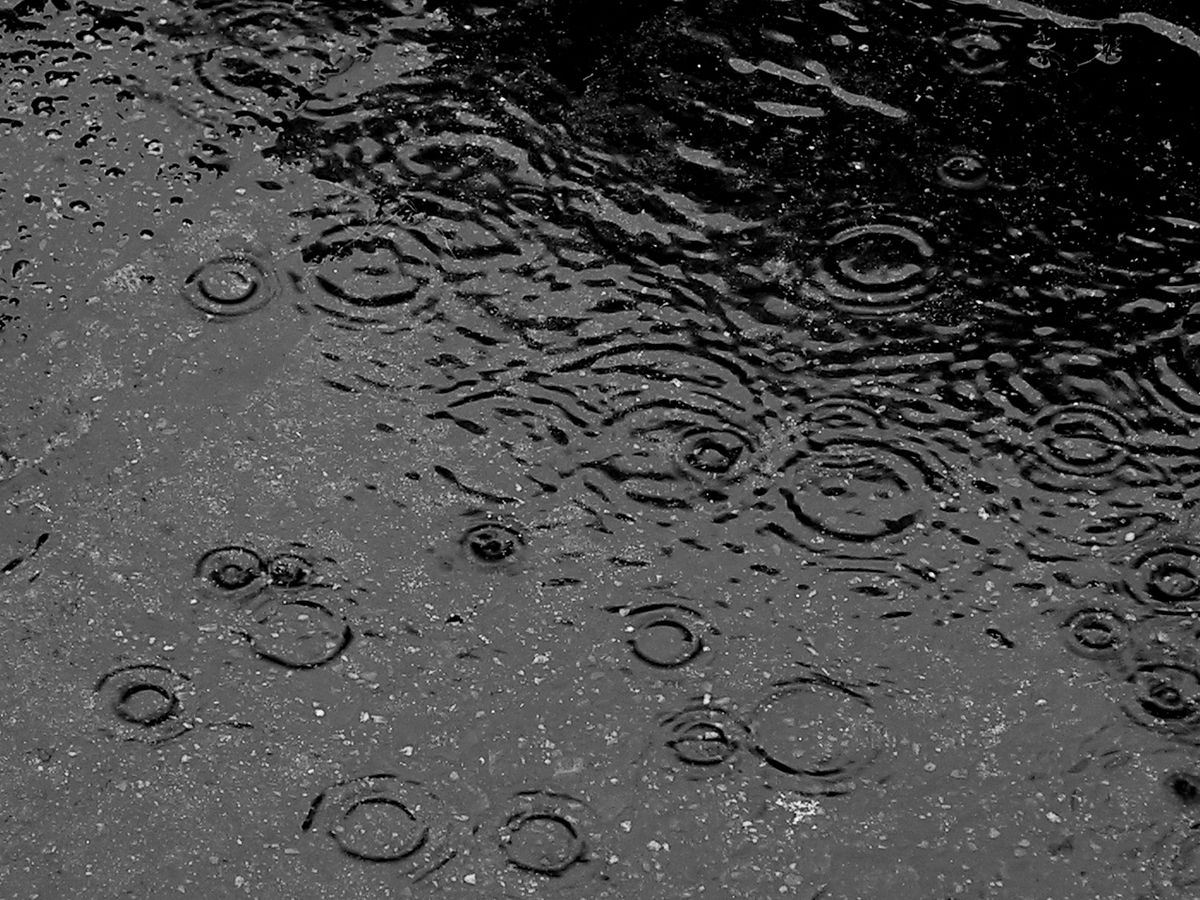
Much of the rain that falls today will do so this morning, but showers will be possible throughout the day. Even when it is not raining, it will still be cloudy with areas of fog and drizzle possible.
Winds will start the day lightly from the south and will turn to the west. Wind speeds in the morning will be 3-7 mph before dropping to 5 mph or less for the afternoon. Top gusts will be just 10 -15 mph.
Temperatures will not move much thanks to the clouds and lack of wind. Look for highs to only be a few degrees warmer than this morning’s temperatures, topping out in the mid 40s.
Chances for rain will increase again tonight, especially after midnight. Temperatures overnight will be around or just below 40 degrees.
Here is a look at the weather forecast for the next several days:
Saturday: Periods of rain, eventually turning to snow. How early the rain becomes snow determines how much snow falls but is still highly uncertain. Temperatures peak early near 40, then either hold steady or drop into the 30s.
Sunday: A few snow showers early in the day. Morning temperatures in the upper 20s, falling to the mid 20s in the afternoon.
Monday: Mostly cloudy with a couple flurries. Morning lows in the low 20s. Afternoon highs in the low 30s.
Tuesday: A little sun early, then increasing clouds. Snow and/or rain by Tuesday night. Morning lows in the teens. Afternoon highs reach the mid 30s.

