
Your Finger Lakes Weather forecast for Cortland and the surrounding areas for Sunday, January 5, 2020:
There will be two chances for light snow today, first from lake effect, and then from a new inbound weather system.
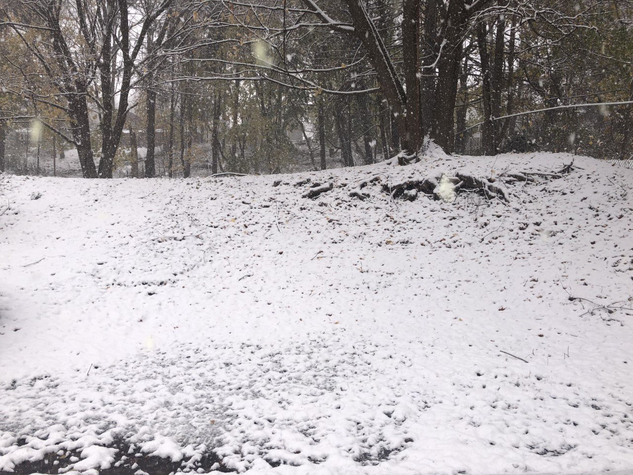
The snow in the area this morning is from lake effect. Cool northwest winds behind yesterday’s low pressure kicked up lake effect last night, which continues this morning.

Those winds will continue to be blustery at 13-17mph with gusts to 30 mph.
As the morning goes on, conditions for lake effect will begin to deteriorate and the snow should gradually taper off.
A few snow showers will remain possible from time to time well into the afternoon until winds finally swing around to the south.
This wind shift will be ahead of the next system, which will spread widespread snow back into the area this evening, starting roughly around 8-10 PM. Only an inch or so of accumulation is expected overnight.
Temperatures will spend much of today and tonight in the mid and upper 20s.
Here is a look at the weather forecast for the next several days:
Monday: Mostly cloudy with a couple flurries, mostly in the morning. Morning lows in the upper 20s. Afternoon highs in the mid 30s.
Tuesday: Mostly cloudy. Maybe some light snow late. Morning lows in the low 20s. Afternoon highs reach the mid 30s.
Wednesday: On and off lake effect snow showers. Windy. Morning lows in the mid 20s. Afternoon highs in the upper 20s.
Thursday: Sunny and dry with a few thin clouds late. Morning lows in the mid teens. Highs in the mid 20s.

