Your Finger Lakes Weather forecast for Cortland and the surrounding areas for Monday, January 6, 2020:
Another wintry day is ahead as low pressure departs the region.
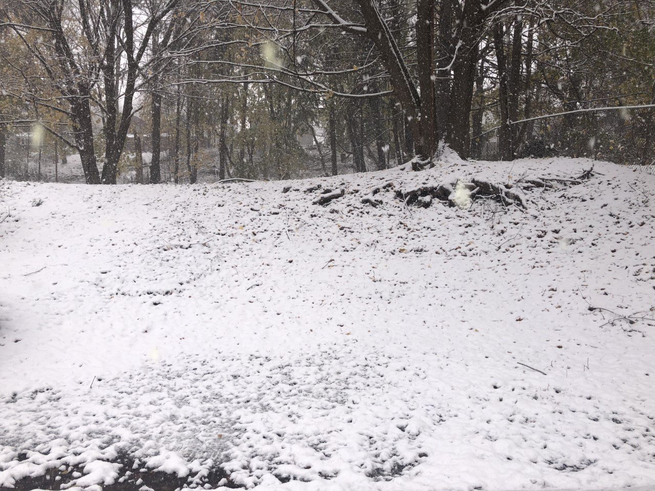
This low is responsible for the snow overnight and this morning’s snow showers. On and off snow will continue into the late morning before it transitions to some lake effect.

There will probably be longer breaks between snow showers once the changeover to lake effect takes place, but a few of those snow showers could contain a brief burst of snow.
The snow should pick up again this evening as lake effect undergoes a brief period of intensification before ending overnight.
In all, not counting what already fell last night, look for a coating to another inch of snow during the day today with the same occurring again in the evening.
Temperatures will reach the mid 30s during the midday hours before losing a couple degrees during the afternoon. After dark, temperatures will settle back into the mid 20s.
Blustery winds from the west will blow at 10-15 mph with gusts as high as 30-35 mph, especially during the morning and midday hours.
Here is a look at the weather forecast for the next several days:
Tuesday: Mostly cloudy. Maybe a little early sun. Morning lows in the low 20s. Afternoon highs reach the mid 30s.
Wednesday: On and off lake effect snow showers. Some sun between flurries. Windy. Morning lows in the mid 20s. Afternoon highs in the upper 20s.
Thursday: Dry with morning sun and increasing afternoon clouds. Morning lows in the low teens. Highs in the mid 20s.
Friday: Cloudy with periods of rain. Lows in the mid 20s. Afternoon highs near 40 degrees.