
Your Finger Lakes Weather forecast for Cortland and the surrounding areas for Monday, January 27, 2020:
A steady northwest wind will keep lake effect snow going throughout today.

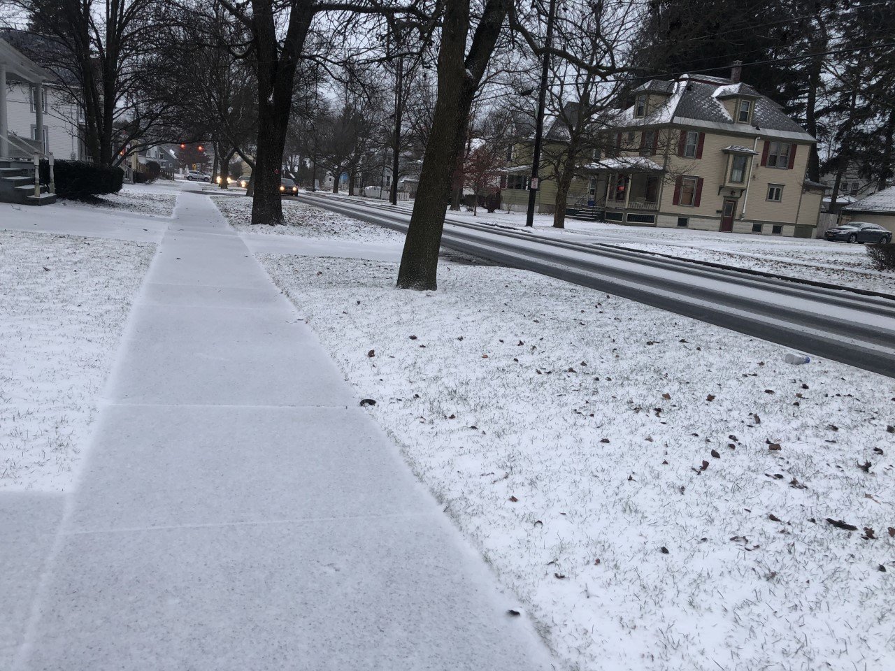
Snow will be possible at any time today, but the vast majority of the snow will be light with little to no accumulations. The heaviest snow will be during the morning, followed by light flurries in the afternoon and evening.
Total accumulations for the day should be around an inch or two, mostly coming in the morning.
Temperatures will continue to hold steady in the low 30s, with afternoon highs only a couple degrees warmer than this morning’s temperatures.
The wind will blow between 7-12 mph with gusts around 25 mph.
Here is a look at the weather forecast for the next several days:
Tuesday: More on and off light snow showers. Morning lows in the mid 20s. Afternoon highs in the upper 20s.
Wednesday: Morning clouds, but clear and sunny for the afternoon. Lows in the upper teens. Highs in the mid 20s.
Thursday: Sunny with some thin clouds, especially in the afternoon. Lows start near or just below zero with afternoon highs in the mid 20s.
Friday: A mix of sun and clouds. Morning lows in the mid single digits. Afternoon highs in the low 30s.

