
Your Finger Lakes Weather forecast for Cortland and the surrounding areas for Sunday, February 2, 2020:
Another weak disturbance will pass through the region today with a round of light snow.

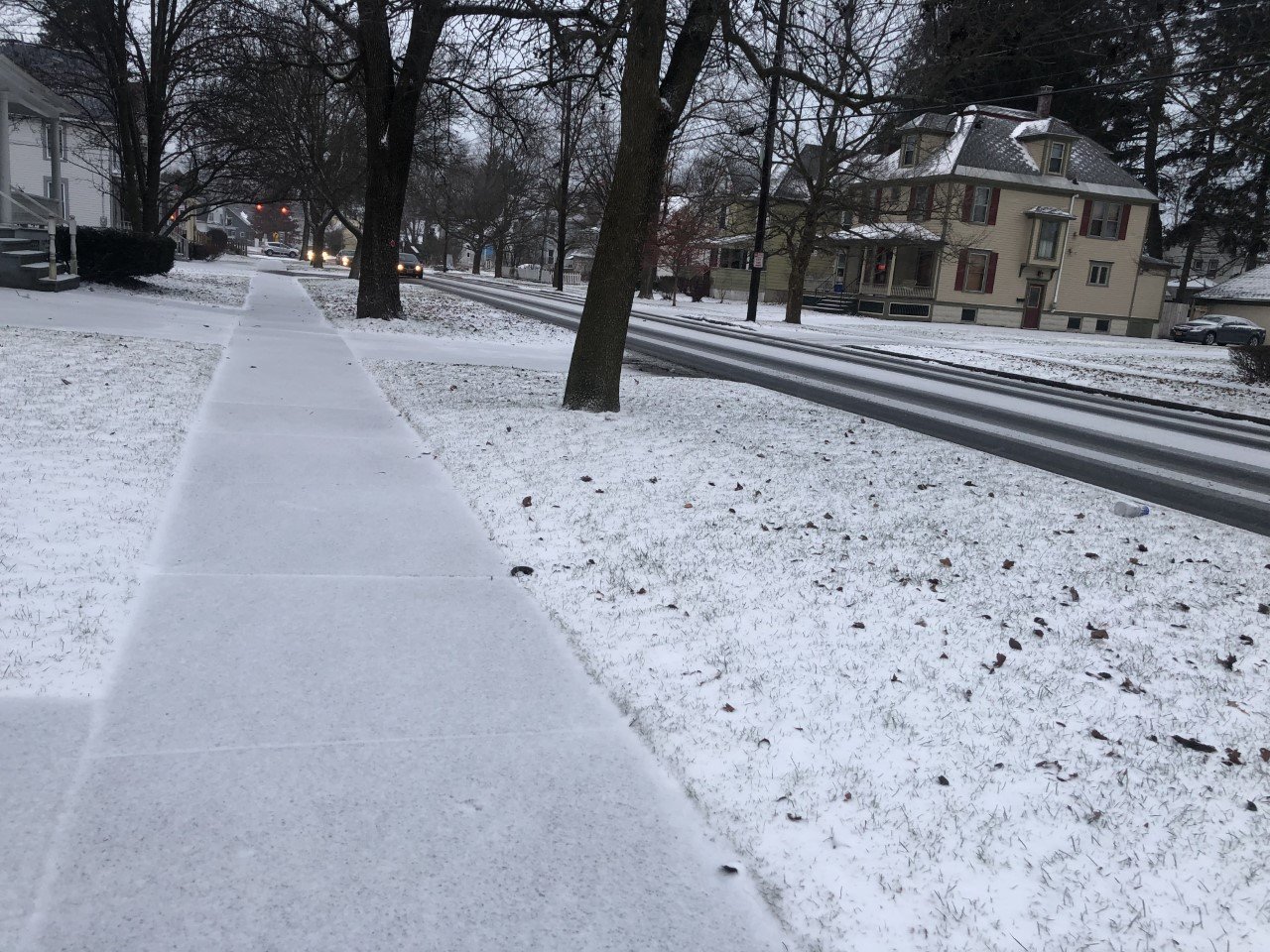
After light snow Friday night and again last night, this batch of snow will move in during the second half of this afternoon. A few flurries will fall ahead of the main snow throughout this morning and the midday hours.
The snow this afternoon will accumulate around an inch before tapering to on and off snow showers this evening.
Temperatures most of the day will be near or just above the freezing mark, so many main roads will remain in good shape this afternoon and evening.
Winds will be from the west-southwest at 5-10 mph ahead of the snow. Once the snow moves in, winds will turn more southerly and weaken.
Here is a look at the weather forecast for the next several days:
Monday: A few clouds early, then some sunshine. Morning lows in the low 30s. Afternoon highs in the low 40s.
Tuesday: Increasingly cloudy but staying dry. Lows near 30. Highs in the upper 30s.
Wednesday: Cloudy with a bit of rain or snow possible, especially late. Morning lows near 20. Highs near 30.
Thursday: Mixed or icy precipitation turning to rain late. Lows in the mid 20s. Highs in the mid 30s.

