Your Cortland County weather forecast for Saturday, February 29, 2020:
February will come to a close with cold temperatures and lake effect snow showers.

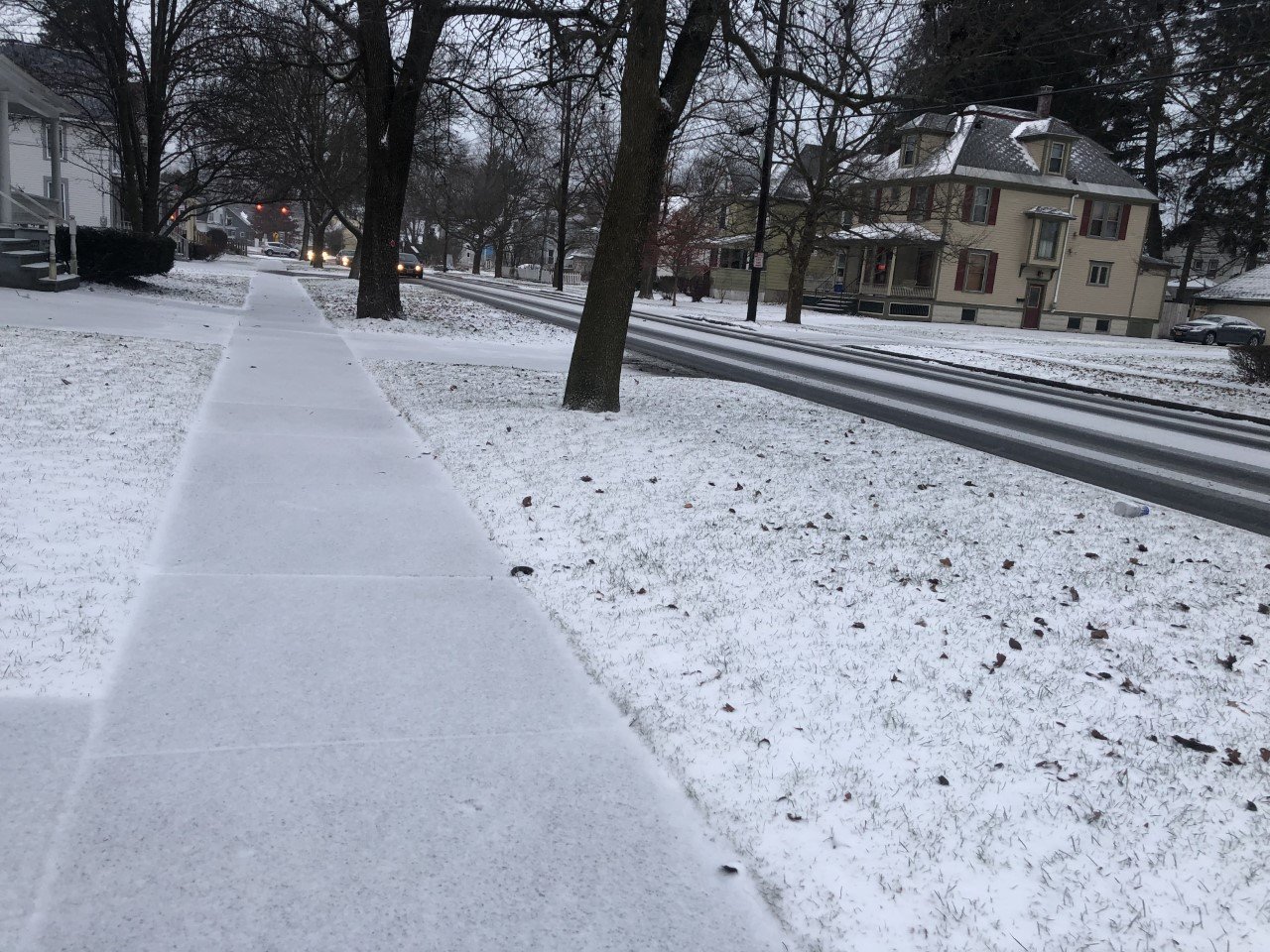
Winds will be from the northwest today at 7-12 mph with gusts as high as 25 mph. These cool winds will keep temperatures down and bring snow back into the forecast.
Snow showers will be in the area throughout the day, but will especially be plentiful this morning and again this evening.
Accumulations should be light, with 1-2 inches for most areas and a few localized amounts as high as 4 inches. Road conditions should be fair most of the day, with rural routes will be more prone to slick spots.
High temperatures will peak around 20 degrees. Evening temperatures will slip back into the mid teens.
Here is a look at the weather for the next several days:
Sunday: Maybe an early flurry, then some sun. Morning lows in the low teens. Afternoon highs in the low 30s.
Monday: Mostly cloudy with a few afternoon rain showers. Morning lows in the mid 20s. Afternoon highs near 50.
Tuesday: On and off rain showers. Morning lows in the mid 30s. Afternoon highs in the mid 40s.
Wednesday: Rain showers, possibly mixing with a little snow late. Morning lows in the mid 30s. Afternoon highs in the mid 40s.
Forecast provided by Finger Lakes Weather.