
Your Cortland County weather forecast for Friday, March 6, 2020:
An area of low pressure will move into the region today, bringing snow and some rain.
A few flurries will develop this morning and become more widespread during the midday and early afternoon hours. Snow will continue through the afternoon before tapering to flurries again in the evening.

Temperatures may get just warm enough during the midday and afternoon hours for some of the snow to turn to rain. Look for afternoon highs in the upper 30s.
Even if precipitation does not fully change over to rain, the snow will be very slushy and wet, and warm road surfaces should keep travel conditions in good shape much of the day.
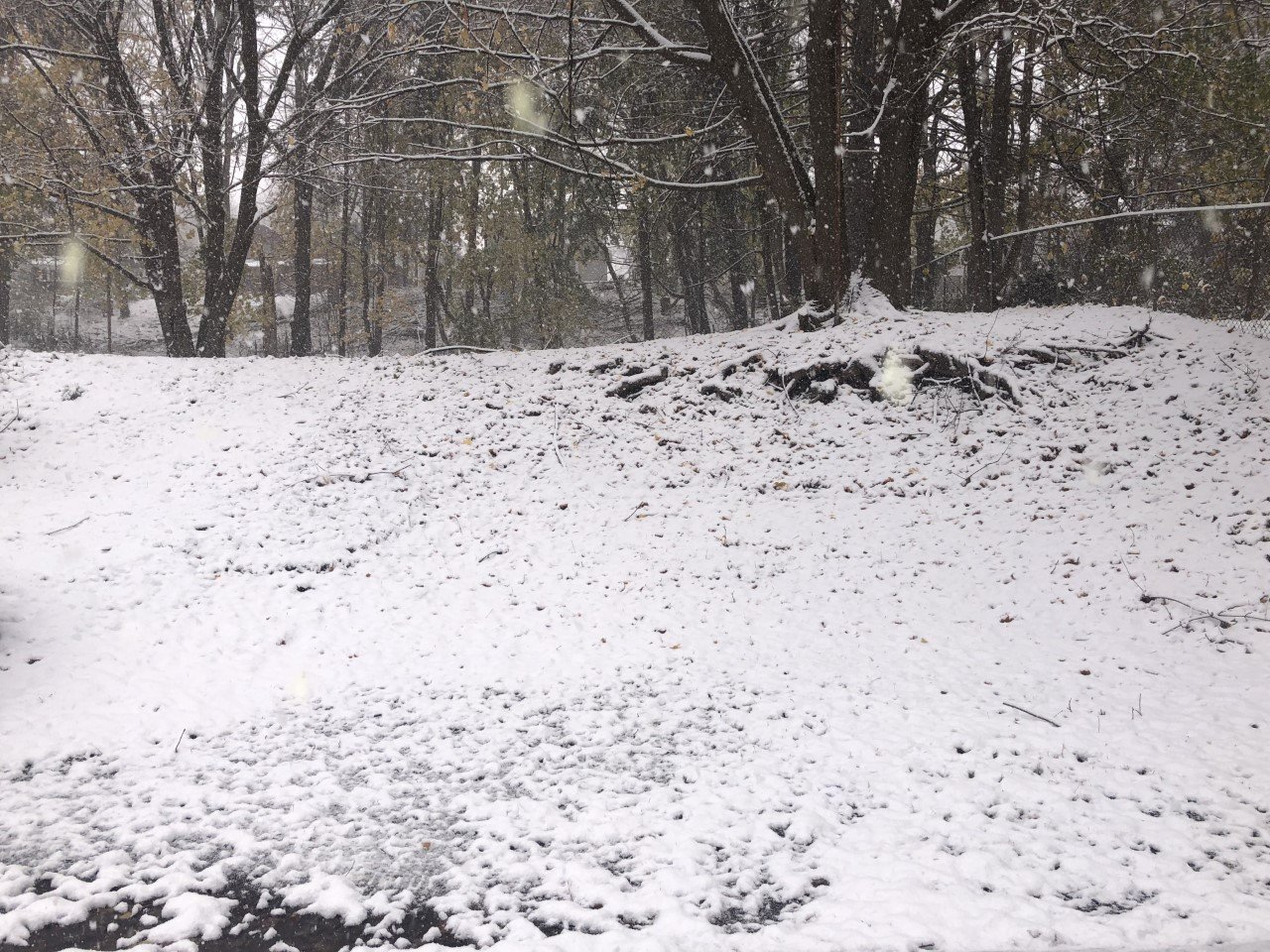
Grassy surfaces could see a couple inches fall, especially over higher elevations.
As the snow tapers off in the evening, temperatures will drop to near or below freezing. Slush will turn icy and some minor snow accumulations on the roads will keep conditions slick.
Winds will start from the southeast at 5-10 mph, but will turn to the north late in the afternoon and increase to 7-12 mph. The top gusts will occur this evening and could approach 30 mph.
Here is a look at the weather for the next several days:
Saturday: A few clouds early, then sunny. Morning lows in the upper teens. Afternoon highs in the low 30s.
Sunday: Lots of sunshine and much warmer. Morning lows in the low 20s. Afternoon highs in the mid 50s.
Monday: Some sun early, then increasing clouds. Morning lows in the mid 30s. Afternoon highs in the upper 50s.
Tuesday: Periods of rain. Morning lows near 40. Afternoon highs in the upper 40s.


