
Your Cortland County weather forecast for Friday, April 10, 2020:
A raw, cold day is ahead thanks to the same low pressure system that moved through the region yesterday.
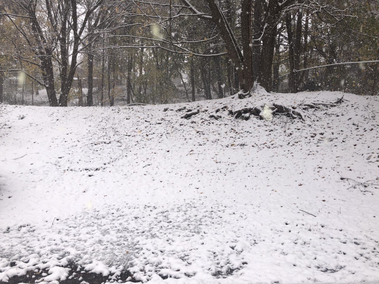
Moisture wrapping back around the low will stick with us through the early afternoon in the form of snow showers. The snow will be steadiest through the morning and will gradually taper off in the afternoon.

Up to an inch could fall throughout Cortland County. Some hilltops may even see a bit more.
This afternoon breaks of sun will poke through the clouds, especially late. Still, a few flurries will linger as well with some additional light snow off Lake Ontario tonight.
Winds will again be strong from the northwest with gusts as high as 50 mph. The wind will diminish after sunset.
High temperatures will be stuck in the upper 30s to perhaps 40 degrees. Evening temperatures will slide back through the 30s and into the 20s for the overnight.
Here is a look at the weather for the next several days:
Saturday: A couple morning snow showers, then cloudy until late in the day. Morning lows in the upper 20s. Afternoon highs in the low 40s.
Sunday: A mix of clouds and some sunny periods. Maybe a few rain showers. Morning lows in the upper 20s. Afternoon highs in the mid 50s.
Monday: Periods of rain and possibly some thunder. Blustery. Morning lows near 50. Afternoon highs in the low 60s.
Tuesday: A mix of sun and clouds. Perhaps a shower or flurry. Morning lows in the low 30s. Afternoon highs in the low 40s.


