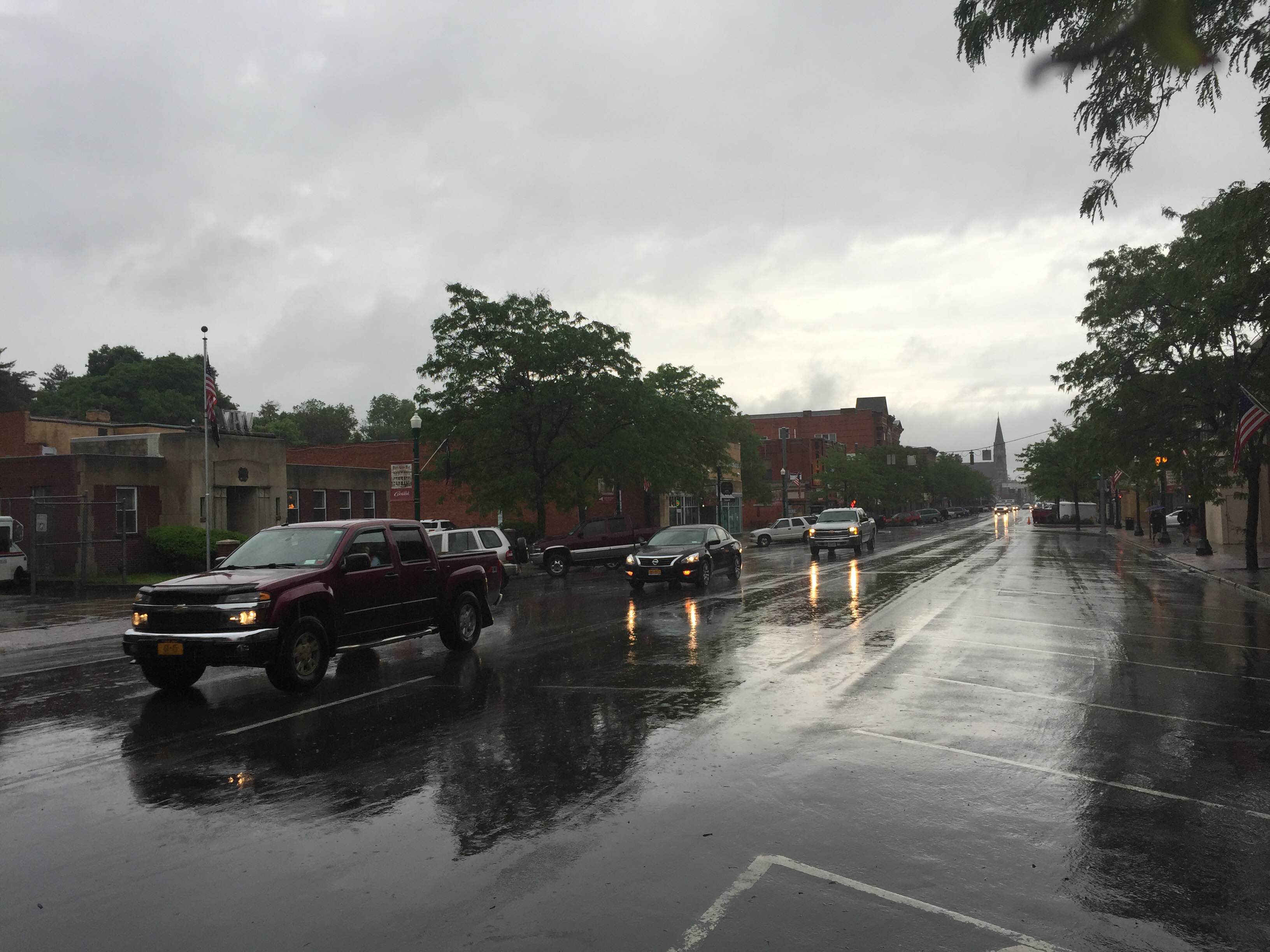
A rainy day on Main Street in Cortland. (Cortland Voice file photo)
Your Cortland County weather forecast for Friday, May 29, 2020:
A strong cold front will approach our area tonight, preceded by a disturbance that will touch off scattered strong thunderstorms.
The morning hours should be dry with clouds and some breaks of sunshine. Southwest winds at up to 10 mph will help temperatures and dewpoints rise, regardless of any sunshine.

By the early afternoon, the atmosphere will be primed for scattered showers and thunderstorms, which should develop as the disturbances moves in.
Several small clusters of thunderstorms will be possible throughout the greater Central New York region with a few instances of severe storms. Damaging winds are the primary threat with hail a secondary threat.
Since the storms will be scattered, there is no guarantee that Cortland County will see one. Nonetheless, keep an eye to the sky this afternoon.
A second round of rain and thunderstorms will move in with the cold front this evening. These should not arrive until well after sunset, so severe storms are much less likely.
Temperatures will peak in the upper 70s this afternoon and will remain in the 60s this evening. Once the front clears the area after midnight, temperatures will fall into the 50s.
Here is a look at the weather for the next several days:
Saturday: Clouds gradually mix with sunshine. A few scattered afternoon showers possible. Morning lows in the mid 50s. Afternoon highs in the upper 60s.
Sunday: Cloudy. Morning lows in the low 40s. Afternoon highs near 50.
Monday: Patchy morning frost. More clouds than sun. Some afternoon showers. Morning lows in the mid 30s. Afternoon highs in the mid 50s.
Tuesday: Sun and clouds mix. A few more afternoon showers. Morning lows near 40. Afternoon highs in the upper 50s.