Your Cortland County weather forecast for Monday, November 16, 2020:
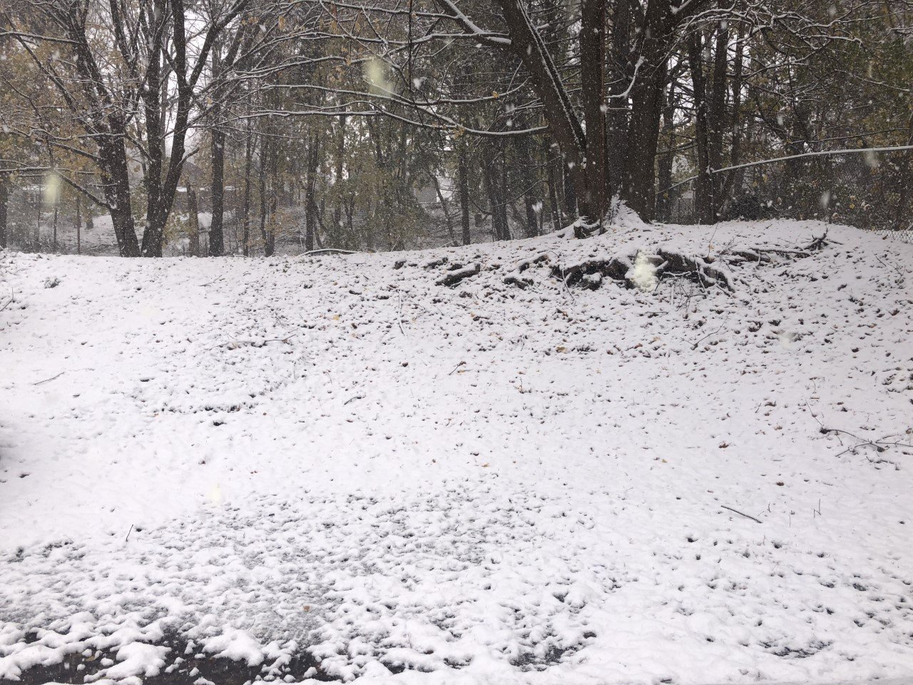
Today will be breezy and chilly behind yesterday’s storm system with a few lake effect showers and flurries.
The best chance for precipitation will be during the latter half of the morning and the very early afternoon. Lake effect showers and flurries off Lake Erie will extend eastward into the area primarily during that time.

Otherwise, it will be a mostly cloudy day.
Winds are starting from the southwest but will turn more to the west this morning. It will be blustery, but not as windy as yesterday, with speeds of 10-15 mph and gusts to 35 mph.
Temperatures will struggle to reach 40 degrees this afternoon. Roughly the northern half of the county will top out in the upper 30s.
Winds will drop and skies will turn partly cloudy this evening. Temperatures will drop into the low 30s. After midnight, clouds will rethicken and a few more flurries may drift into the area.
Here is a look at the weather for the next several days:
Tuesday: Breezy. Scattered snow showers. Morning lows in the low 30s. Afternoon highs in the mid 30s.
Wednesday: A morning flurry. Then, clouds with some late sun. Breezy. Morning lows in the mid 20s. Afternoon highs in the upper 20s.
Thursday: Mostly cloudy. Morning lows in the low 20s. Afternoon highs in the mid 40s.
Friday: Partly cloudy, with more clouds early and more sun late. Morning lows in the mid 30s. Afternoon highs in the low 50s