
Your Cortland County weather forecast for Wednesday, November 18, 2020:
Today will be a cloudy and cool day as northwest winds persist over the region.
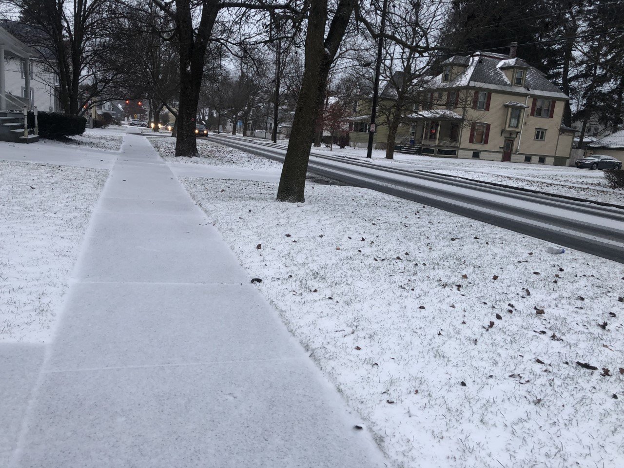
Lake effect snow showers will continue in localized areas this morning but will continue to weaken and dissipate. By the afternoon, no snow should be falling.

Clouds will remain thick until late in the day, when the wind starts to turn to the southwest. This will cut off the moisture from Lake Ontario that is contributing the cloudiness.
Wind speeds will be at their highest during the late morning and early afternoon with speeds of 10-15 mph. Gusts may approach 30 mph at times.
High temperatures will probably not quite make it to 30 degrees, topping out at 28 or 29 instead.
Temperatures will drop to the low 20s this evening as skies become partly cloudy. The southwest winds will help temperatures back into the mid 20s after midnight.
Here is a look at the weather for the next several days:
Thursday: Sunshine filtered through thin overcast. Morning lows in the mid 20s. Afternoon highs in the mid 40s.
Friday: Partly cloudy, with more clouds early and more sun late. Morning lows in the mid 30s. Afternoon highs in the mid 50s.
Saturday: More clouds than sun. Morning lows in the low 40s. Afternoon highs in the mid 40s.
Sunday: Mostly cloudy. A few showers or flurries possible. Morning lows in the low 30s. Afternoon highs in the mid 40s.


