Your Cortland County weather forecast for Sunday, January 3, 2021:
An area of disturbed weather passing through the Great Lakes and Mid-Atlantic regions will bring some light snow to the area today.
After starting cloudy but dry, flurries will start to show up in the late morning and early afternoon. A few pockets of freezing drizzle may also be possible as the precipitation first begins.

Through the afternoon, precipitation should become more widespread as an area of low pressure takes shape off the coast of New Jersey. Several hours of light but steady snow is likely during the latter afternoon and early evening hours.
The snow will taper off during the evening, but a few flurries will linger through the overnight.
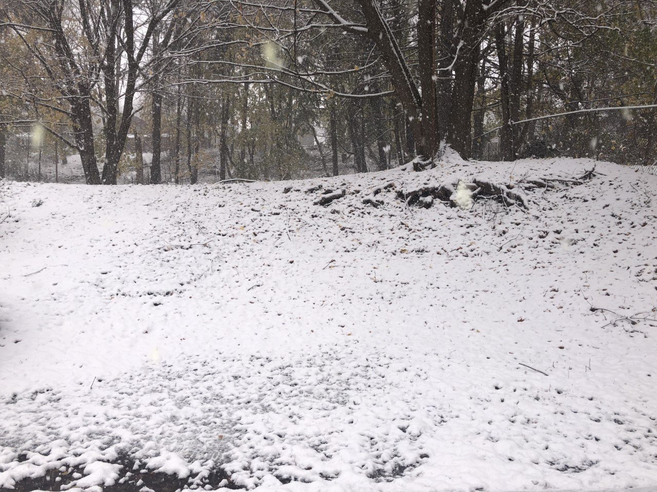
Snow accumulations will be between 1-2 inches, though a localized higher elevation total of 3 inches is not out of the question.
Temperatures will rise into the mid 30s early this afternoon, but should fall back into the low 30s as the snow becomes steadier. Tonight, temperatures will hover around 30 degrees.
Light southeast winds will blow at 5-10 mph with top gusts reaching 15-20 mph.
Here is a look at the weather for the next several days:
Monday: Cloudy. A few stray rain or snow showers, especially in the afternoon. Morning lows near 30. Afternoon highs in the low 30s.
Tuesday: Cloudy. A few flurries. Morning lows near 30. Afternoon highs in the mid 30s.
Wednesday: Cloudy. Morning lows in the mid 20s. Afternoon highs in the upper 20s.
Thursday: Mostly cloudy. Morning lows in the low 20s. Afternoon highs in the upper 20s.