
Your Cortland County weather forecast for Monday, January 4, 2021:
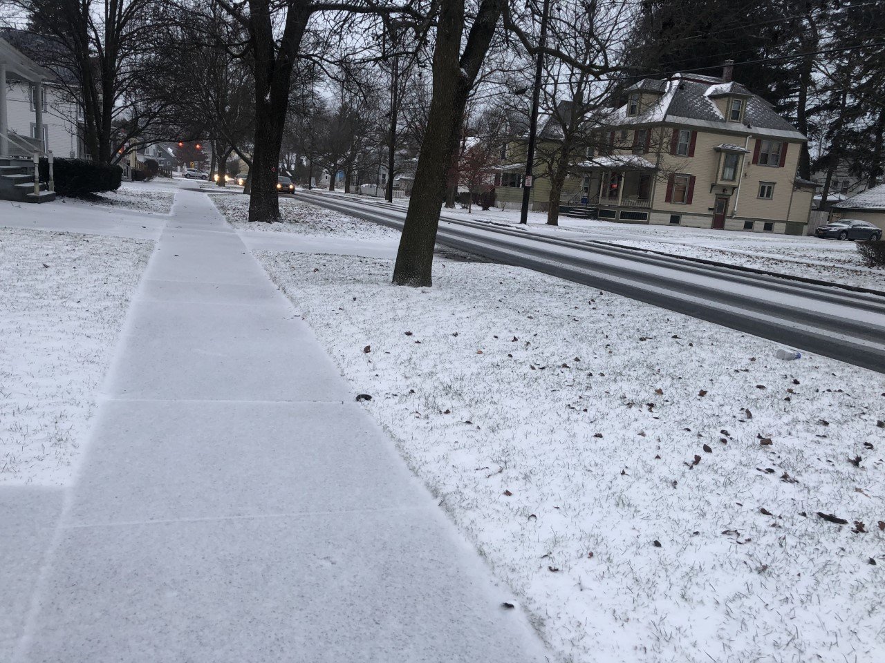
Moisture left behind by the system responsible for yesterday’s quick shot of snow will remain trapped over the region today, resulting in plenty of clouds and spotty precipitation.
With the moisture trapped in the lower levels of a cool, but not cold atmosphere, the clouds will not have ice crystals within them. This in turn will prevent much in the way of snow from falling.

Instead, patchy drizzle will be the primary precipitation type. For higher elevations, and the early and late day hours, temperatures may be below 32 degrees, resulting in freezing drizzle. A few slick roadways will be possible.
Most areas should see highs reach the mid 30s though. Anytime the temperatures are above 32 degrees, the drizzle will remain liquid and will not freeze.
Winds will be light from the west and northwest at no more than 5 mph. Top gusts will only reach around 12 mph.
Temperatures will fall back to around 30 degrees tonight, leading to more freezing drizzle and perhaps a few snowflakes as well.
Here is a look at the weather for the next several days:
Tuesday: Cloudy. Patchy drizzle and freezing drizzle, perhaps mixing with a few flurries. Morning lows near 30. Afternoon highs in the mid 30s.
Wednesday: Cloudy. Morning lows in the low 20s. Afternoon highs in the upper 20s.
Thursday: Mostly cloudy. Morning lows in the low 20s. Afternoon highs in the upper 20s.
Friday: Mostly cloudy. Morning lows in the upper 10s. Afternoon highs in the upper 20s.


