
Your Cortland County weather forecast for Saturday, January 16, 2021:
Low pressure from the Midwest will redevelop along the New England coast today but will mostly be too far away for major impacts in Cortland County.
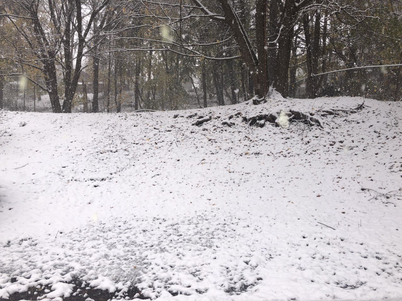
Precipitation began last night and will wind down this morning as the new low begins to take shape. Most of what falls this morning will be snow, but a few raindrops could mix in at times over lower elevations.

The snow will taper off during the mid-morning hours, but on and off flurries or short bursts of snow will continue to be possible. The chances for these will gradually decrease through the afternoon. Nothing more than a stray flurry is expected tonight.
Additional snow accumulation during the day today should be no more than an inch or two, with many areas not even seeing that.
Northwest winds will develop and increase to near 10 mph. The wind will slowly turn to the west by the evening with speeds overnight increasing slightly. Top gusts will come during the overnight at around 30 mph.
High temperatures will be in the low 30s this afternoon. Higher elevations will be coldest and may not get much above 30. Temperatures will drop into the upper 20s this evening and remain steady overnight.
Here is a look at the weather for the next several days:
Sunday: On and off lake effect snow showers. Morning lows in the upper 20s. Afternoon highs in the mid 30s.
Monday: Lake effect snow showers likely. Morning lows in the mid 20s. Afternoon highs in the low 30s.
Tuesday: Cloudy with snow showers late. Morning lows in the mid 10s. Afternoon highs in the low 30s.
Wednesday: Scattered lake effect snow showers. Morning lows in the upper 10s. Afternoon highs in the mid 20s.


