
Your Cortland County weather forecast for Sunday, February 14, 2021:
Quiet weather will build in today behind a small disturbance that moved through last night.
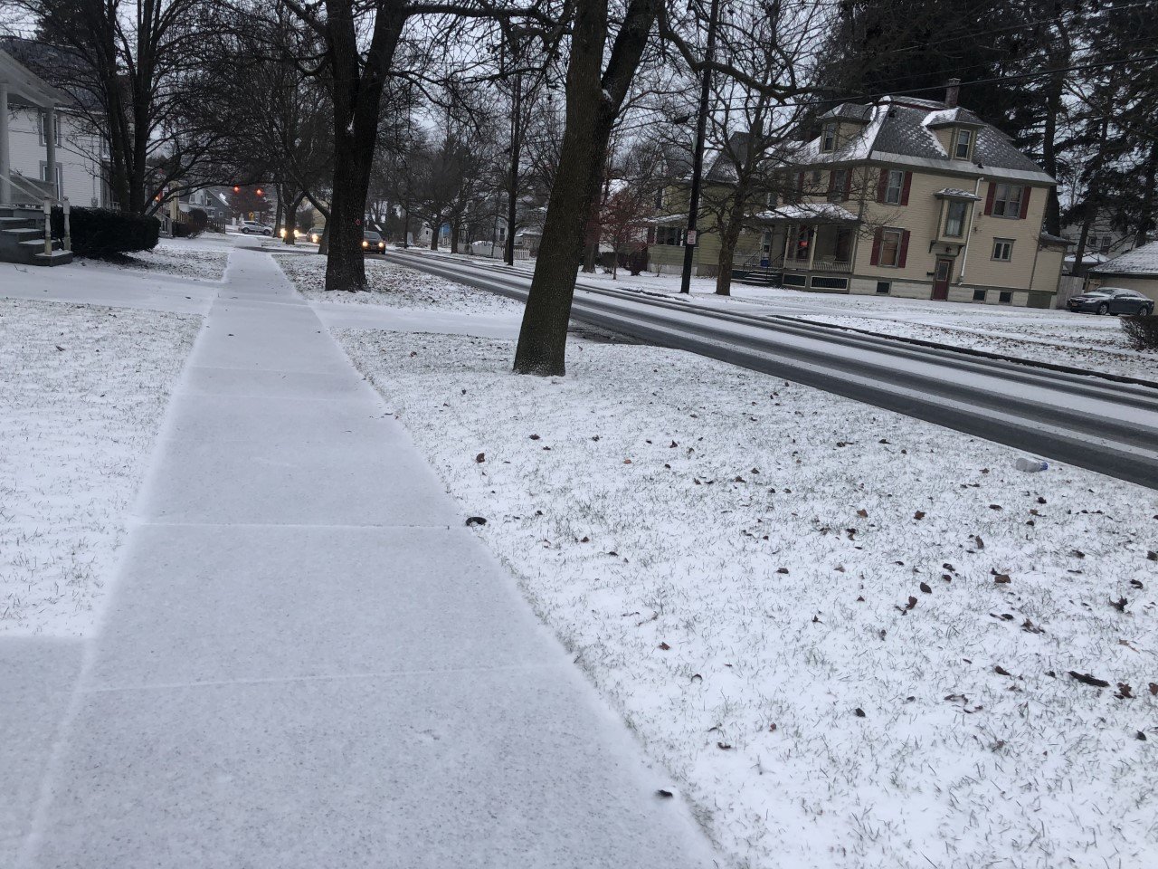
A few lingering snow showers early this morning will quickly taper off, leaving the rest of the day dry.

Clouds will be in place through the morning, but some sun should start to poke out in the afternoon. Even these glimpses of sunshine will be filtered by thin clouds, though.
Winds will turn from the west to the northwest this morning and remain steady through the afternoon. Wind speeds will be 5-10 mph with gusts around 20 mph.
High temperatures will be a touch warmer than the last couple days with highs reaching the mid 20s. A quick drop into the teens is likely tonight, and single digits will be possible if skies can clear more.
Through the overnight, clouds will gradually increase once again as light winds turn to the northeast, signaling active weather on the way.
Here is a look at the weather for the next several days:
Monday: Periods of light snow, turning heavy overnight. Daytime accumulations of 1-2 inches. Morning lows in the mid 0s. Afternoon highs in the low 20s.
Tuesday: Heavy morning snow. Significant accumulations with major travel disruptions likely. Lighter snow in the afternoon. Morning lows in the upper 10s. Afternoon highs around 20.
Wednesday: More sun than clouds. Morning lows in the mid 0s. Afternoon highs in the upper teens.
Thursday: Light snow early, becoming heavier and possibly mixing with ice late. Morning lows near 10. Afternoon highs in the upper 20s.


