
Your Finger Lakes Weather forecast for Cortland and the surrounding areas for Saturday, February 1, 2020:
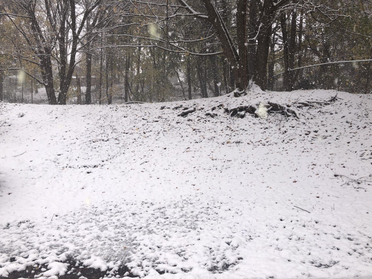
After a little light snow overnight, much of today will be quiet until a new batch of snow showers this evening.

Look for plenty of clouds today, though a few glimpses of sunshine will be possible. The daytime hours should remain dry, though.
Flurries will move back in this evening and continue off and on through the overnight. Snow amounts should stay under an inch.
Temperatures will only rise a few degrees today, topping out in the mid 30s. Tonight, temperatures will fall back into the 20s.
Winds throughout the day will be less than 5 mph coming from the north. Top gusts will only be around 10 mph.
Here is a look at the weather forecast for the next several days:
Sunday: Cloudy with a couple more snow showers possible. Morning lows in the mid 20s. Highs in the low 30s.
Monday: Mostly sunny and warmer. Morning lows in the low 30s. Afternoon highs in the mid 40s.
Tuesday: Increasingly cloudy, but staying dry. Temperatures in the mid to upper 30s most of the day.
Wednesday: Precipitation likely, but the type is too uncertain to tell at this point. Snow, rain, and/or ice will all be possible. Temperatures in the low 30s.

