Your Cortland County weather forecast for Thursday, August 27, 2020:
A significant outbreak of severe weather should unfold today around Central New York, putting Cortland County at risk.
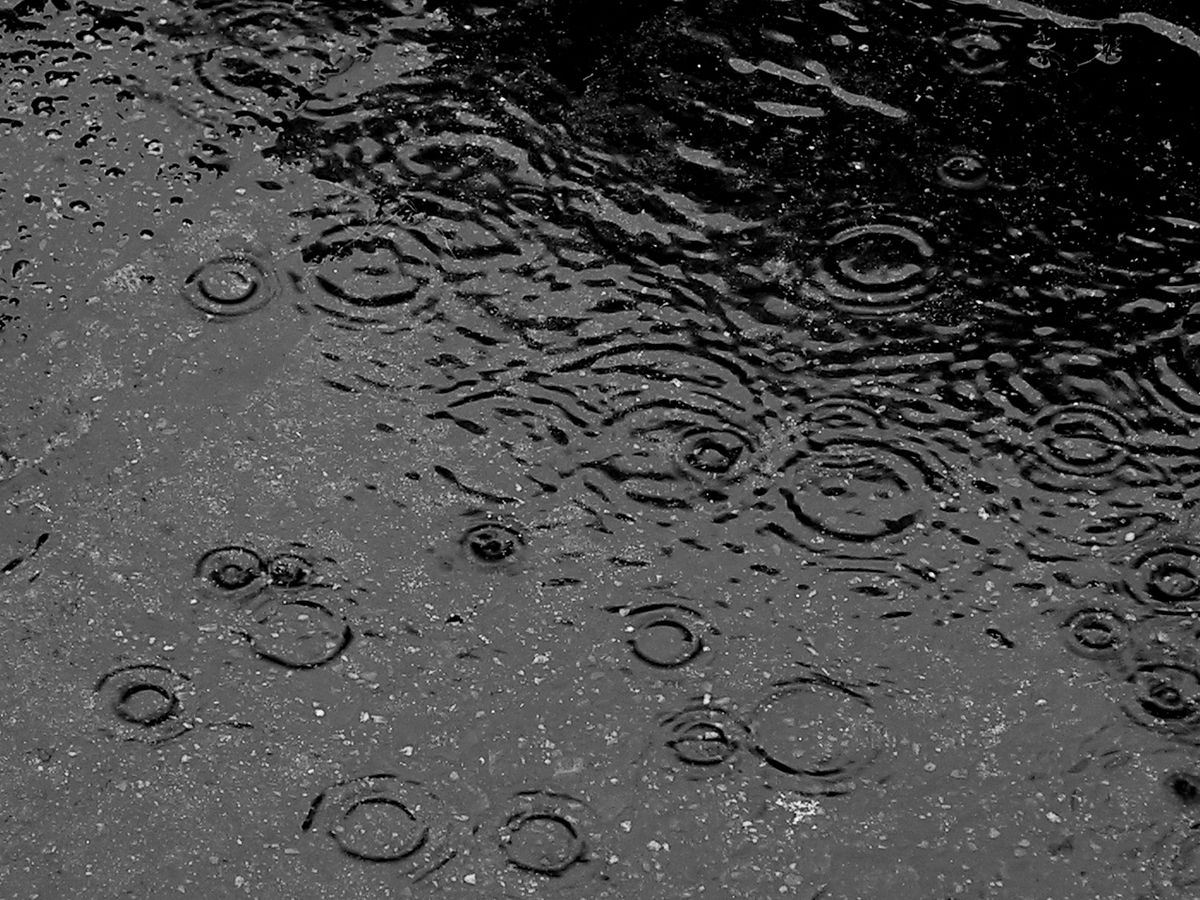
A warm front lifted through the region overnight. A few early showers and storms will transition to increasing sunshine and gusty winds this morning. Non-thunderstorm wind gusts could reach 40 mph, coming from the west.

This will lead to an increase in temperature and humidity. By midday, temperatures will be in the upper 70s with dewpoints approaching 70 degrees.
Low pressure riding along the front will trigger storms to our northwest during the late morning and early afternoon. These storms should rapidly intensify as they approach our region.
As is always the case with severe weather, pinpointing exactly which storms will be the strongest and predicting where and when they will hit is not possible.
Nonetheless, numerous supercells and clusters of storms will be in the area, so there is a greater than normal chance at least part of the county will see severe weather.
Damaging winds and large hail are the primary threats. The strongest storms could cause significant wind damage and/or hail over 2 inches in diameter. These threats are higher than our typical severe weather events and should be taken seriously. There is also a low tornado and flash flood risk.
Multiple rounds of storms will be possible throughout the afternoon before the activity presses south by this evening.
Areas of fog and a few lingering showers will develop in the wake of the storms tonight with temperatures falling back into the 60s.
Here is a look at the weather for the next several days:
Friday: Clouds and some breaks of sun. Morning lows in the low 60s. Afternoon highs in the upper 70s.
Saturday: Rain and thunderstorms likely with localized downpours. Morning lows in the low 60s. Afternoon highs in the mid 70s.
Sunday: A few morning showers. Some late sun. Much cooler. Morning lows in the upper 50s. Afternoon highs in the upper 60s.
Monday: Partly cloudy. Morning lows in the mid 50s. Afternoon highs in the upper 60s.