
Your Cortland County weather forecast for Saturday, August 29, 2020:
Low pressure will pass by to our north today, bringing more showers and storms into the area.
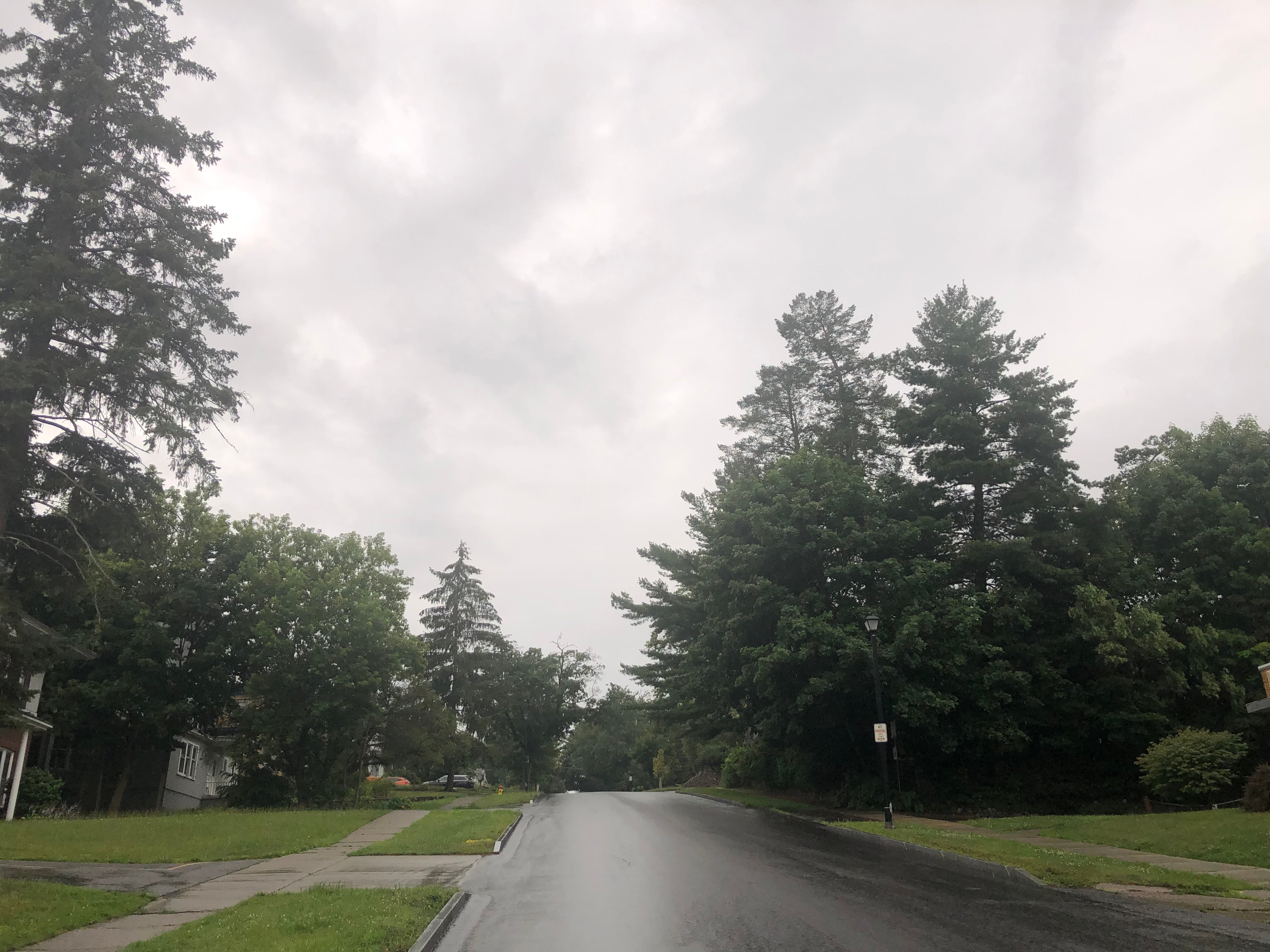
Some of the rain is already in the area this morning and will continue off and on into the midday and early afternoon hours.

A cold front will then move through, bringing an end to most of the rain. A few gusty storms may develop along the front, especially if some breaks of sun work out at some point.
Behind the front, clouds will break up and allow some sunshine. Temperatures will reach a high in the upper 70s at this time before cooler air can start to come in.
Winds ahead of the front will be from the southwest but will turn to the northwest behind the front. Wind speeds will be 10-15 mph with gusts of 30-35 mph.
The northwest winds will bring in cooler air aloft, which will result in an increase in clouds and a few showers off Lake Ontario for the overnight period.
Here is a look at the weather for the next several days:
Sunday: A few morning showers. Some late sun. Much cooler. Morning lows in the upper 50s. Afternoon highs in the upper 60s.
Monday: Partly cloudy. Morning lows in the upper 40s. Afternoon highs in the low 70s.
Tuesday: Mostly cloudy with a few showers. Morning lows in the low 60s. Afternoon highs in the mid 70s.
Wednesday: A little sun. Then some afternoon showers and maybe a storm. Morning lows in the low 60s. Afternoon highs in the low 80s.


