Your Cortland County weather forecast for Monday, December 28, 2020:
A weak area of low pressure will track through southeastern Canada today, bringing a slight boost to our temperatures and some light precipitation.
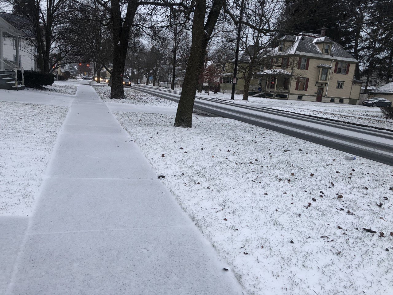
Clouds will be thick throughout the day, but precipitation will be spotty.

A quick burst of snow will be possible early this morning as the warm front associated with this system moves through.
The snow should last less than an hour but could come down hard for a brief time. A quick coating of snow will make travel temporarily slick. This is most likely before 9 AM.
A few more scattered rain and snow showers will then be possible throughout the day. None of this precipitation will be heavy or long lasting.
Finally, tonight, lake effect snow showers will develop as colder air moves in behind the low. The best chance for some squalls will come after midnight.
South winds will continue at 10-15 mph this morning. The wind will turn to the west this afternoon with speeds of 5-10 mph, and then to the northwest tonight with similar speeds.
The south winds should help temperatures get to near 40 degrees, but temperatures will tumble back into the low 20s overnight.
Here is a look at the weather for the next several days:
Tuesday: Morning flurries and squalls. Maybe some afternoon sun. Temperatures spend most of the day in the low 20s.
Wednesday: A little morning sun. Then turning cloudy. Morning lows in the low 0s. Afternoon highs around 30.
Thursday: Cloudy. Rain showers, possibly mixing with some snow. Morning lows in the mid 20s. Afternoon highs in the low 40s.
Friday: Rain likely, possibly starting as some ice. Morning lows in the mid 20s. Afternoon highs in the upper 30s.