Your Cortland County weather forecast for Saturday, January 2, 2021:
Low pressure will pass overhead this morning before departing to the east, bringing an end to precipitation and dropping temperatures.
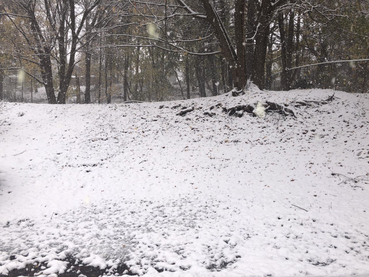
A few rain showers will linger early this morning but should mostly move out by the mid-morning hours. A little wet snow could mix in at the tail end of the rain, but most areas will probably not see that happen.

The rest of the day will be mostly cloudy with few if any breaks of sunshine. No additional precipitation is expected.
Southwest winds early on will turn to the west and northwest through the morning. As this happens, they will pick up speed, peaking near 15 mph during the midday and early afternoon. Top gusts will be near 35 mph.
Winds will stay from the northwest for the late afternoon and evening, but speeds will steadily decline and should become nearly calm overnight.
The northwest winds will bring cooler air into the area. Temperatures will be at their highest this morning at around 40 degrees. A drop into the mid 30s will occur for the afternoon with mid and upper 20s overnight.
Here is a look at the weather for the next several days:
Sunday: Cloudy with periods of light snow, possibly picking up a bit in the evening. Morning lows in the mid 20s. Afternoon highs in the mid 30s.
Monday: Cloudy. Maybe a stray rain or snow shower. Morning lows near 30. Afternoon highs in the mid 30s.
Tuesday: Cloudy. A few flurries. Morning lows in the upper 20s. Afternoon highs in the mid 30s.
Wednesday: Cloudy. A few more flurries. Morning lows in the mid 30s. Afternoon highs in the low 30s.