
Your Cortland County weather forecast for Monday, March 1, 2021:
A strong cold front will move through today with gusty winds, falling temperatures, and a few afternoon snow squalls.
Temperatures will be at their warmest in the morning with upper 30s slowly giving way to mid 30s. Temperatures will continue to fall in the afternoon, reaching the mid 20s by dinnertime.

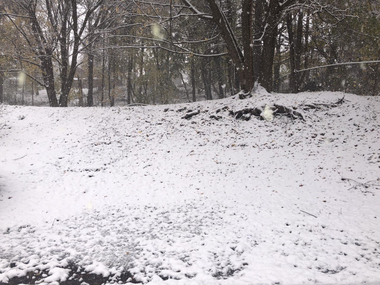
Light, scattered precipitation will be in the area through the morning, starting as rain but ending as snow.
The early afternoon should have a bit of a lull and some breaks of sunshine will even be possible. During the second half of the afternoon, though, a few squalls will start to develop.
Occasional squalls will continue into the evening. These squalls will be capable of a quick inch of snow. Combined with the wind, visibilities will be low and travel conditions hazardous during the squalls.
Lighter, but steadier lake effect will develop overnight, bringing locally as much as three or four inches by dawn Tuesday.
The winds will be from the northwest throughout the day, gradually increasing in speed. By the afternoon, wind speeds will be around 15 mph and tonight, the winds will be near 20 mph.
Wind gusts will be even stronger, reaching 40-50 mph at times this evening. Daytime gusts will be 30-40 mph.
Here is a look at the weather for the next several days:
Tuesday: Early snow showers. Then, turning mostly sunny. Morning lows in the mid 0s. Afternoon highs in the low 20s.
Wednesday: Mostly sunny. Morning lows in the mid teens. Afternoon highs in the low 40s.
Thursday: Mostly cloudy. A few snow showers. Morning lows in the temperatures near 30. Afternoon temperatures in the mid 20s
Friday: Sun and clouds. Morning lows in the low 10s. Afternoon highs in the mid 20s.


